Send the location and goal
Share the property, project, timing, and what you need captured.
Makwa Aerial
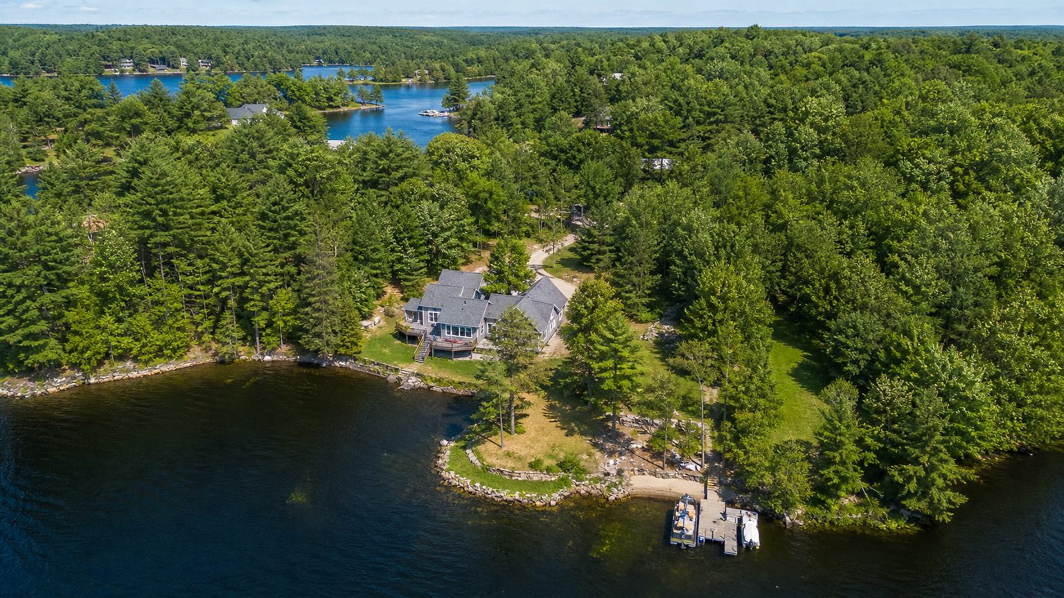
Makwa Aerial helps property owners, cottage owners, realtors, contractors, local businesses, and organizations capture clear aerial photos, video, and site records.
Serving Rama, Orillia, Simcoe County, and nearby communities.
 Local, careful, useful
Aerial deliverables planned around the job.
Local, careful, useful
Aerial deliverables planned around the job.
Makwa Aerial is an Indigenous-owned aerial media and property documentation service based in the Rama and Orillia area. The business was created to provide practical, clear, and useful drone imagery for homeowners, cottage owners, real estate professionals, contractors, local businesses, and community organizations.
Our focus is straightforward: capture the angles people cannot easily see from the ground, organize the results clearly, and help clients make better decisions about their property, project, listing, or business.
Tell us what you need capturedHow It Works
Share the property, project, timing, and what you need captured.
Makwa Aerial reviews weather, airspace, access, permission, and site conditions.
The quote outlines recommended deliverables and any practical limits.
Work is booked when conditions are suitable for the requested location and goal.
Photos, clips, or records are organized in a clear digital format.
What We Do
Makwa Aerial focuses on useful visual documentation and client-ready media, not vague flyovers. Each project starts with the location, purpose, deliverables, and safe operating conditions.
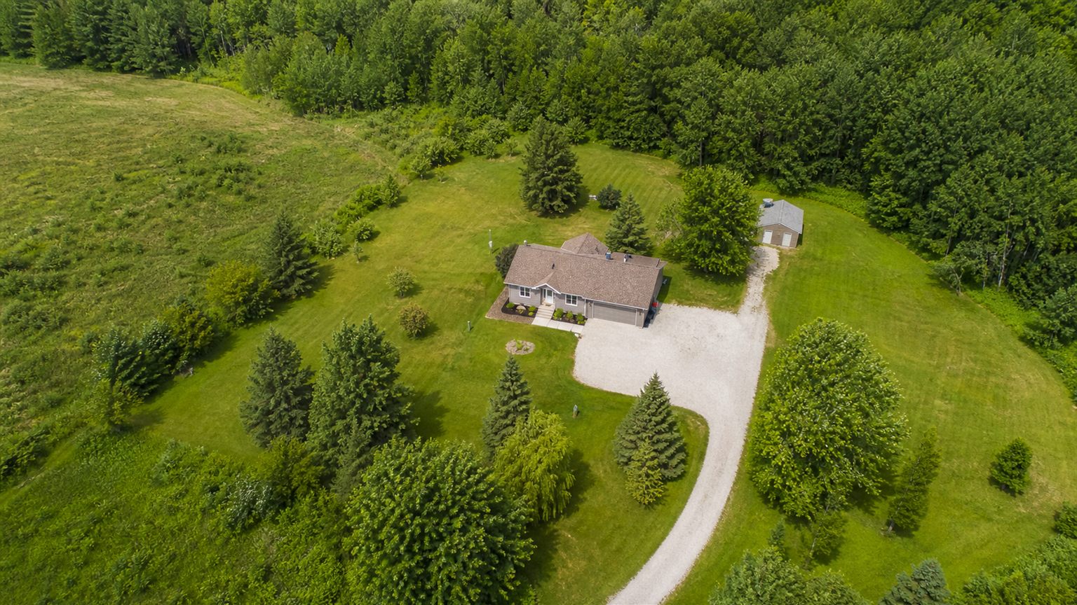
Overhead and exterior visual records for homes, cottages, rural lots, and commercial properties.
View Packages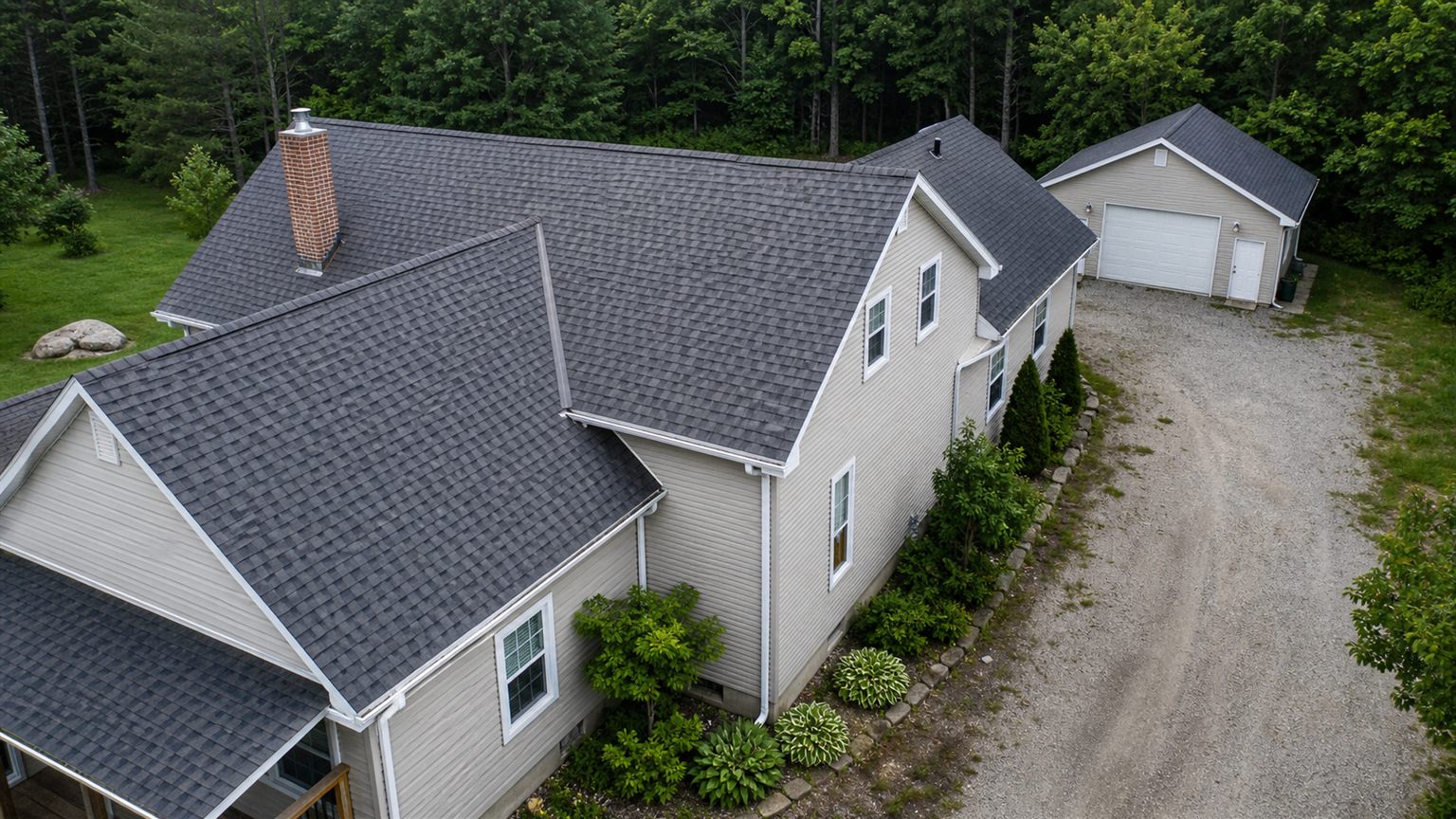
Useful visual angles of roofs, siding, eaves, outbuildings, and hard-to-view exterior areas.
Useful visual records for planning, maintenance notes, and follow-up conversations.
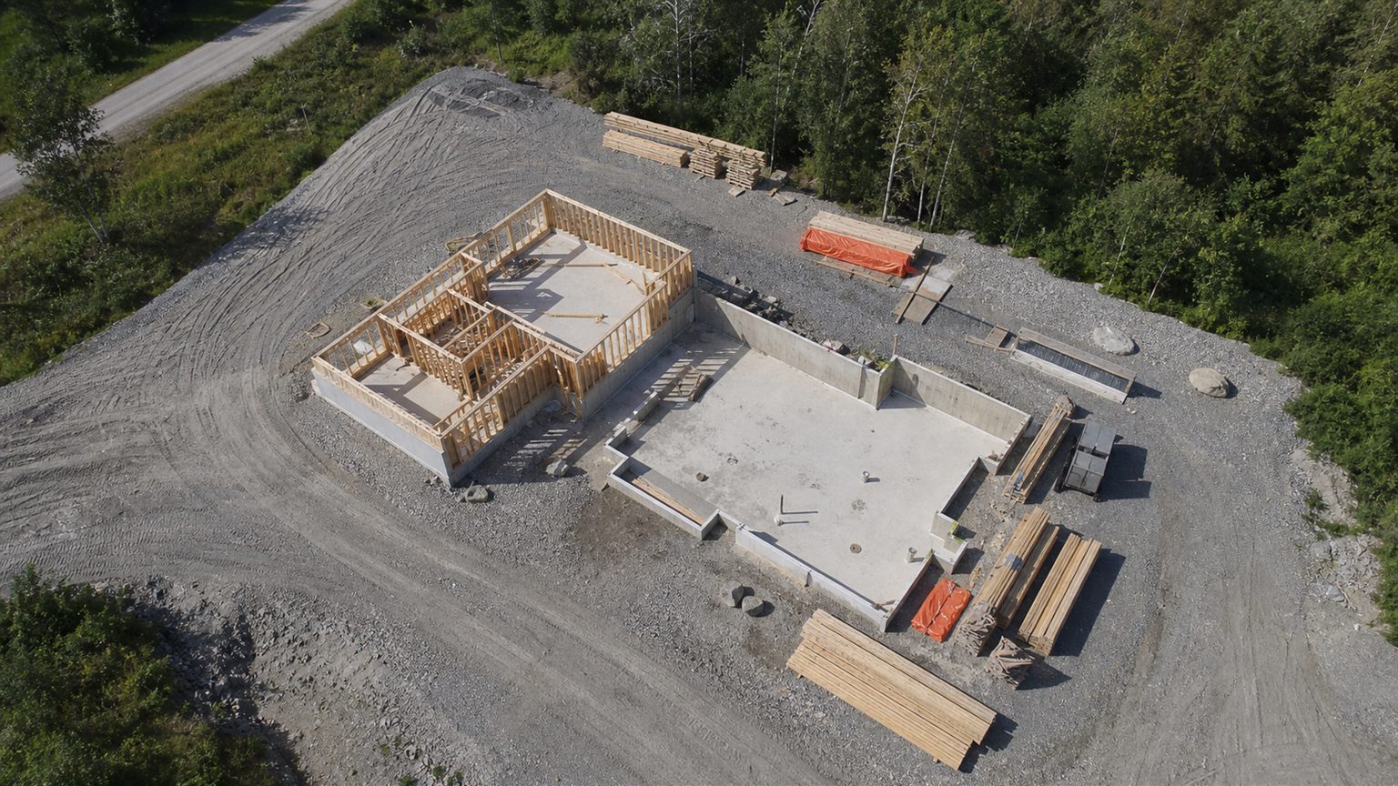
Dated aerial photo sets for project milestones, site progress, and owner or contractor records.
See Deliverables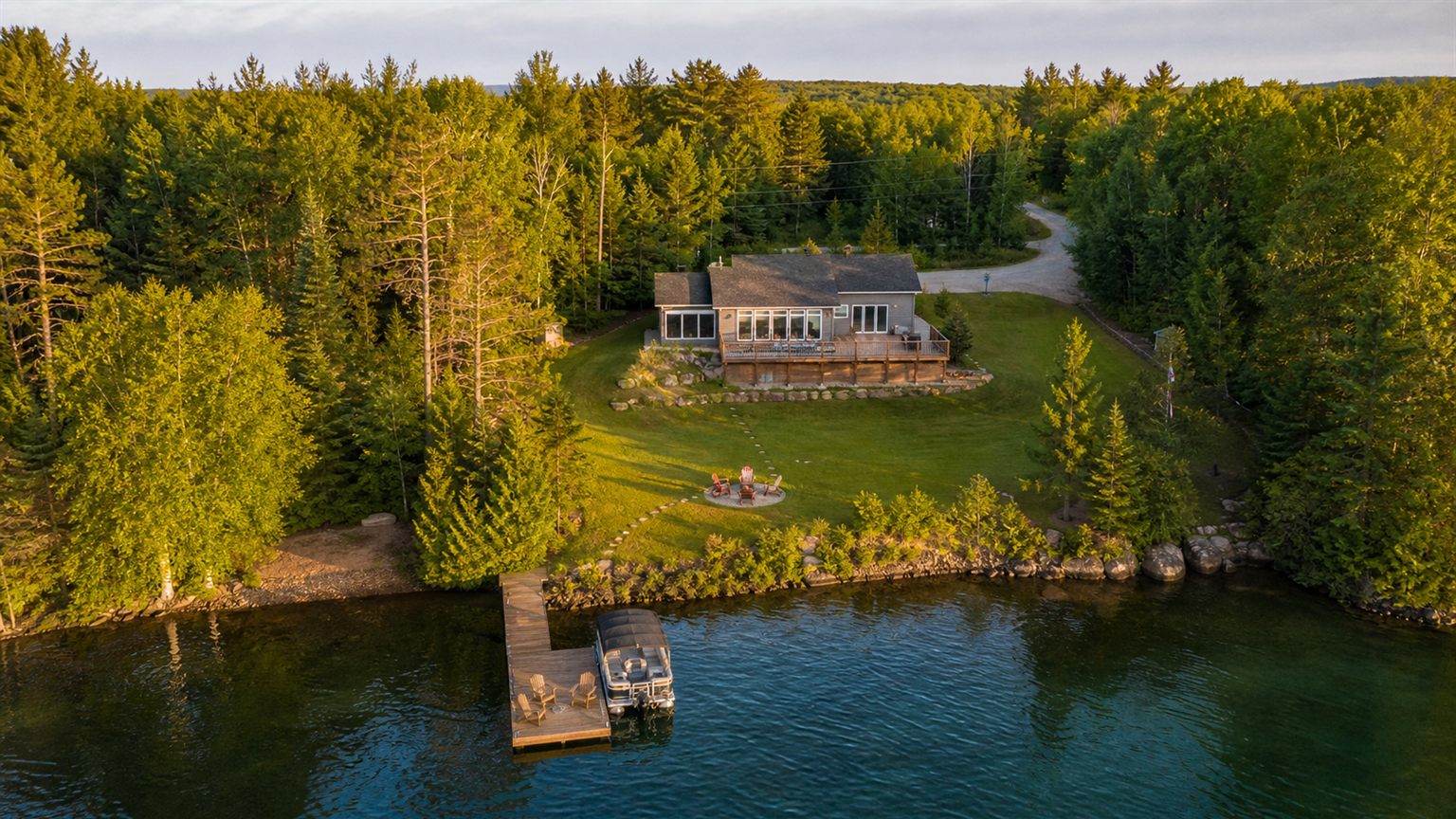
Aerial media for listings, waterfront properties, vacant land, businesses, and practical promotional needs.
Request a QuoteWhy Makwa Aerial
Drone work is only useful when it is planned safely and delivered clearly. Makwa Aerial keeps the process practical from first request to final file delivery.
Weather, airspace, access, permission, and site conditions are reviewed before work is confirmed.
Deliverables are organized for the purpose of the job: property records, media, progress photos, or visual documentation.
Serving Rama, Orillia, Severn, Ramara, Washago, Simcoe County, and nearby communities by arrangement.
Send the basics, get a clear reply, and receive organized files that match the job.
FAQ
Makwa Aerial serves Rama, Orillia, Simcoe County, and nearby communities. Other nearby areas can be reviewed by request.
Location, property size, deliverables, travel, editing needs, timing, repeat visits, site access, airspace, and weather can all affect the quote.
No. Wind, rain, snow, low visibility, temperature, and site conditions can delay or prevent a flight.
You should own the property, manage it, or have permission from the owner or authorized contact before requesting drone services.
Files are delivered digitally in an organized format, usually grouped by project, date, or deliverable type.
Makwa Aerial can provide useful exterior aerial photos and documentation, but this is not a replacement for a licensed inspection, engineering assessment, roofing assessment, electrical assessment, or other professional review.
Yes. Recurring visits can be quoted for projects that need dated progress records and repeatable overview angles where practical.
Yes. Makwa Aerial Academy offers online drone training and course preparation through the Academy section of this website.
Ready to plan a flight?
Makwa Aerial will review the request before confirming the quote and flight timing.